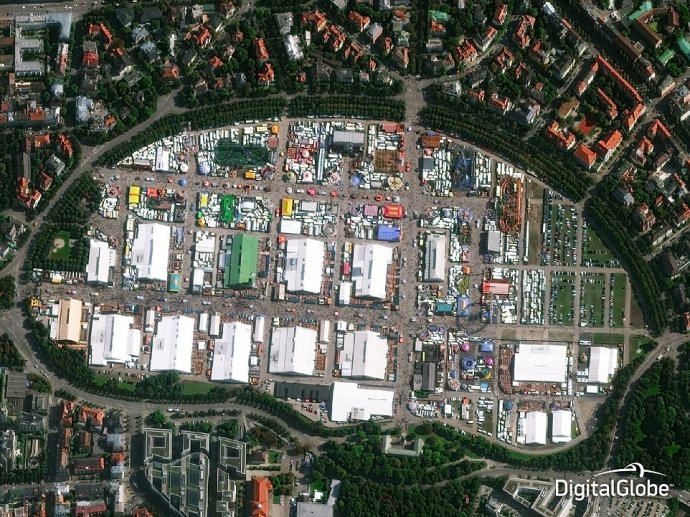
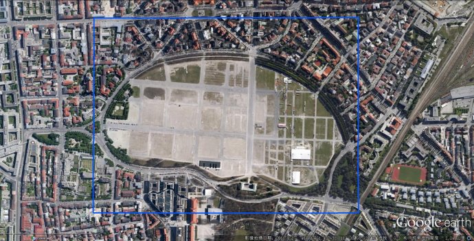
A whole new view of Oktoberfest! A vast camp of marquees catering for Munich's annual beer festival can be seen from the sky
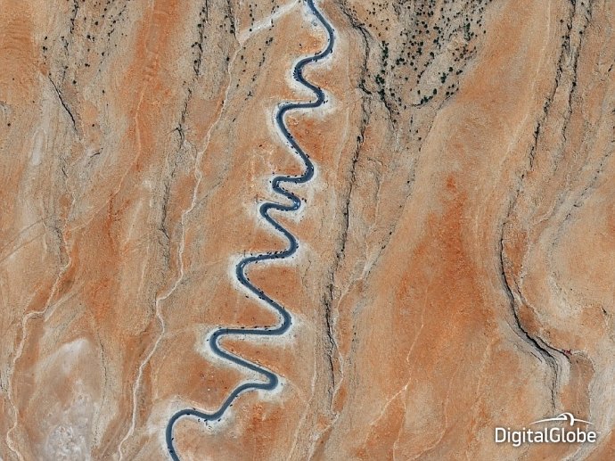
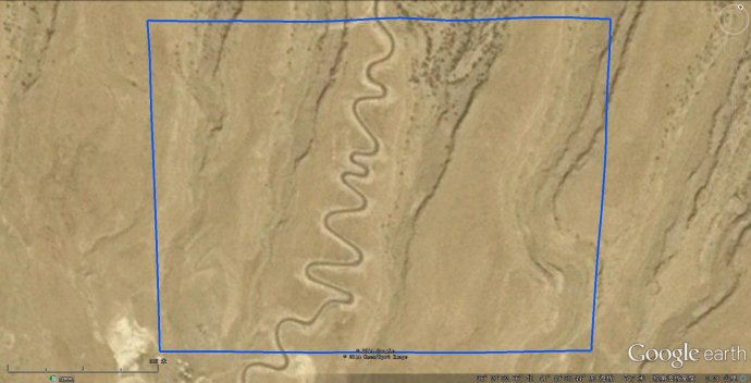
Satellites captured an exodus from the Iraqi city of Sinjar, where at least 500 Yazidis were massacred by ISIS in August. Fleeing refugees were seen traversing steep mountain switchbacks to escape Islamic militants in this photo taken on September 15 this year
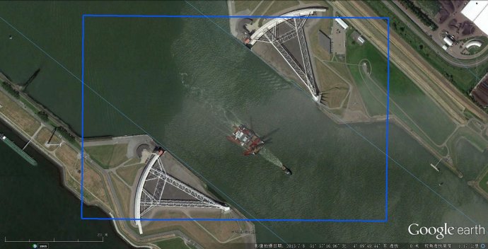
The Spui Locks at IJmuiden in Netherlands were captured in this shortlisted photo taken on August 27 this year
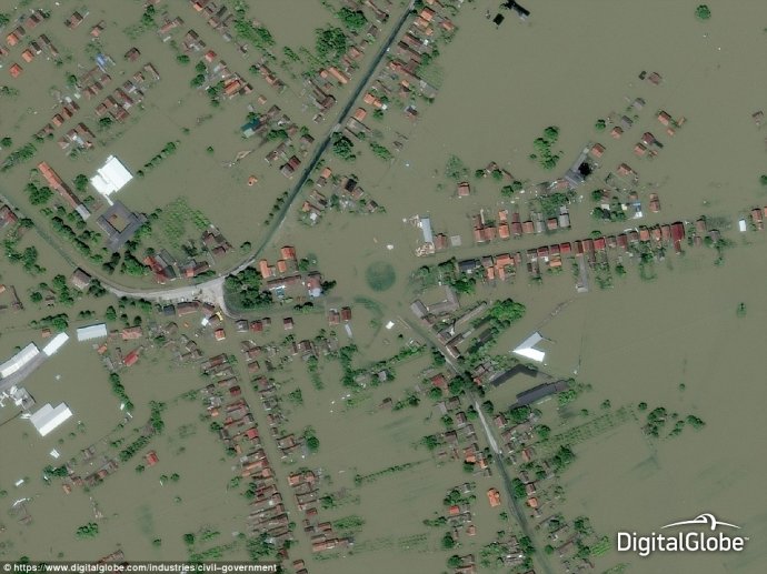
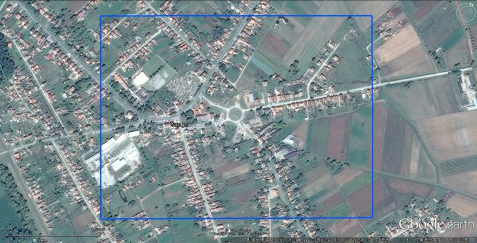
Aerial views, such as this photo taken in May, allowed rescue decisions to be made during flooding in Gunja, Croatia
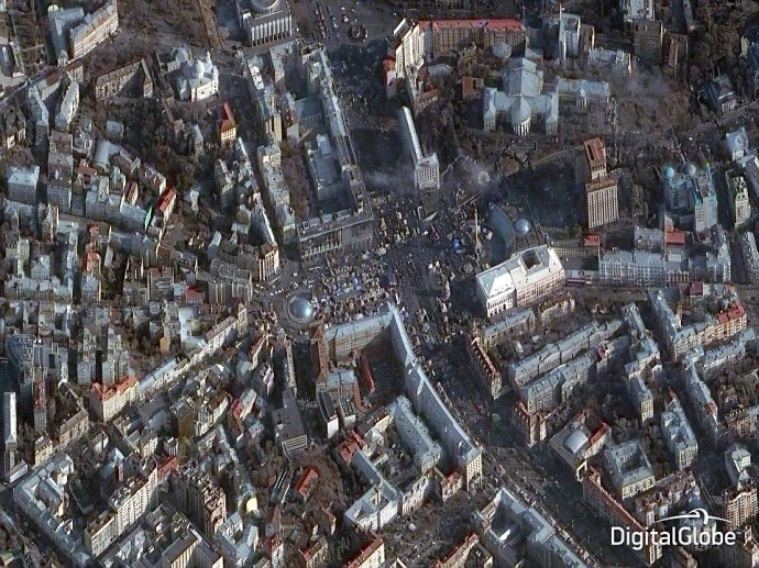
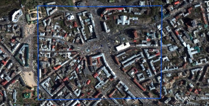
This photo was taken above Kiev, Ukraine, in February 2014 and captures the civil unrest in the city with thousands of protesters in the streets
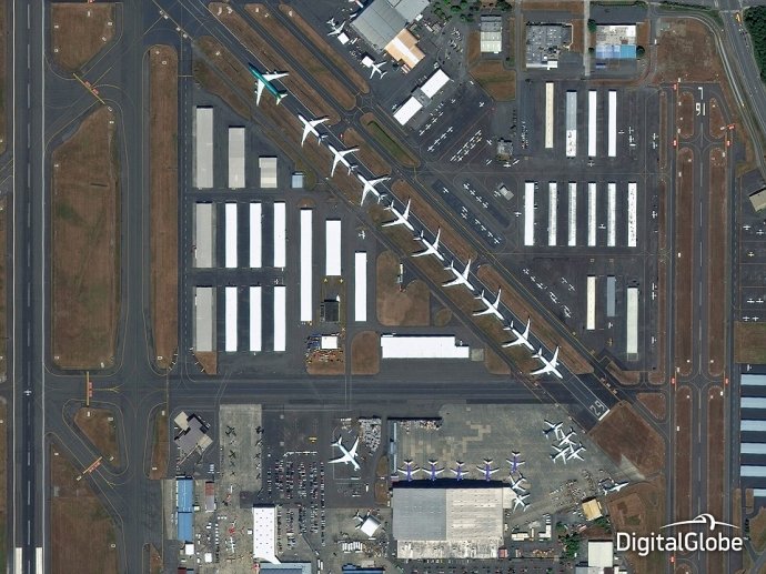
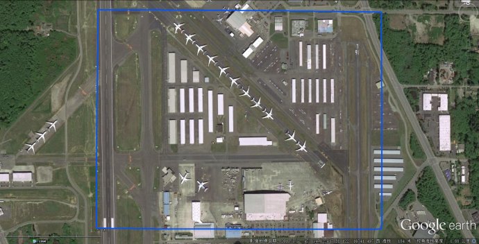
The Defence and Intelligence community relies on images of airports for pattern analysis. Pictured, Boeing Everett Factory, Washington
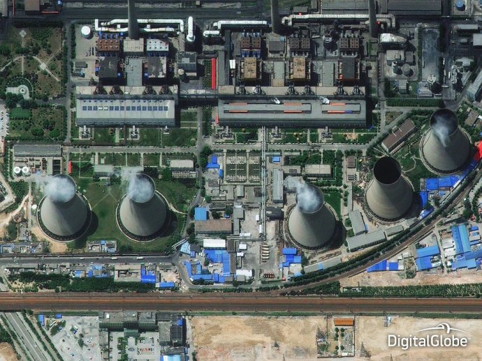
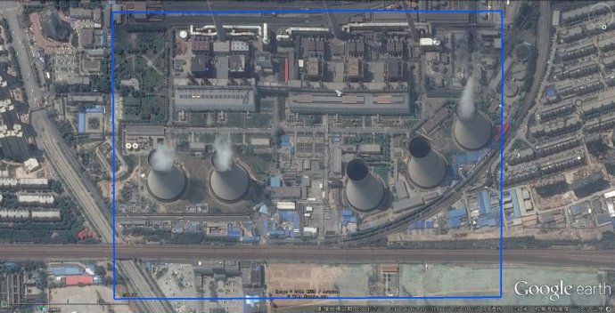
A spectacular aerial shot of the Henan Coal Mine in China. Satellite shots can indicate the plant's emission and fuel stockpile levels
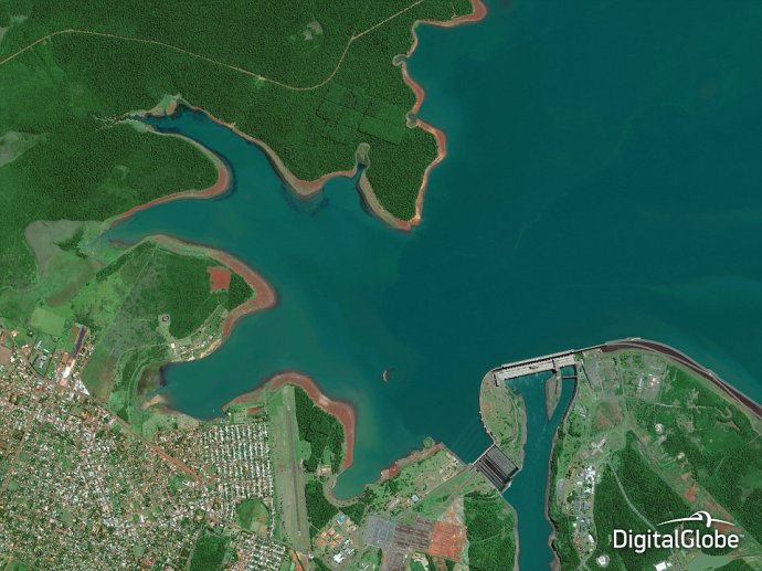
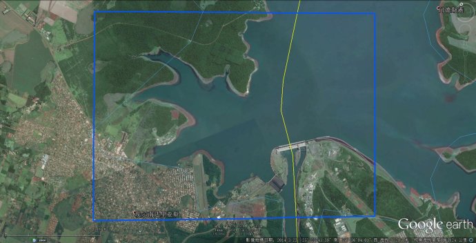
Aerial shots are used to monitor large areas of water and understand the impacts of building a new dam. Above, Itaipu Dam in Paraguay
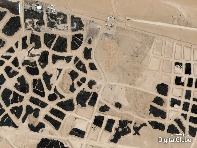
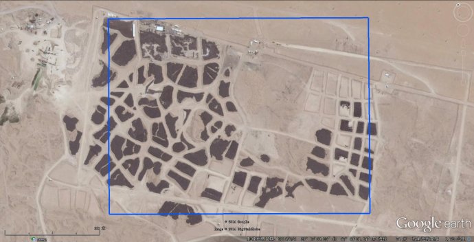
A satellite shot of the world's largest tire graveyard in Sulaibiya, Kuwait, also made the shortlist for the best aerial photos of 2014
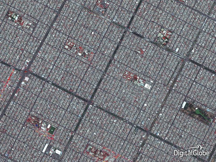
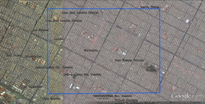
Satellite imagery is used for navigating in extremely densely populated areas and planning for growing neighborhoods. Pictured, Mexico City
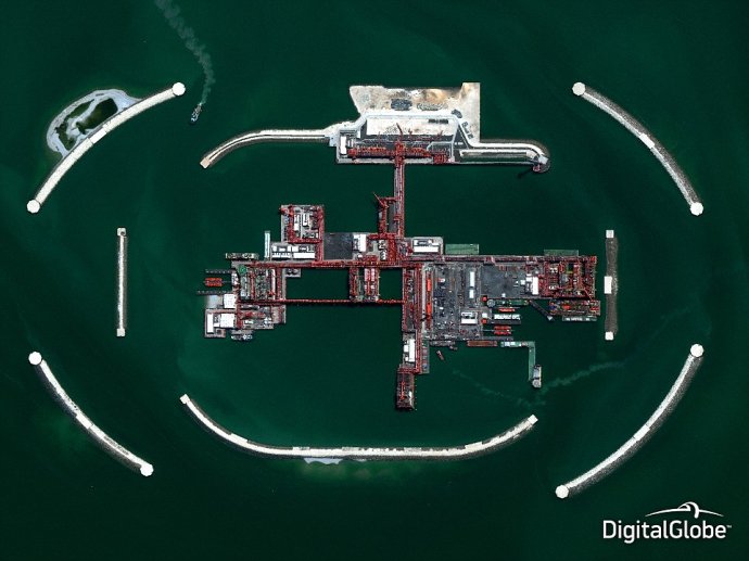
The majestic-looking Kashagan oil project, which has become a prominent oil extraction scheme in the Caspian Sea, is owned by Kazakhstan
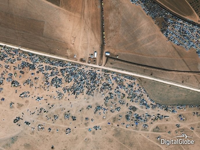
This high-resolution image was taken above the Syrian-Turkish border town of Kobane in November this year - where fierce fighting has taken place between resident Kurdish fighters and the invading ISIS militants
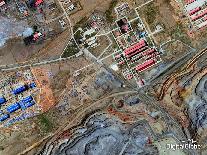
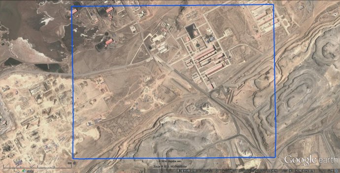
Aerial views also let mining companies monitor progress over time. Above, Bayan Obo Mining District, western Inner Mongolia, China
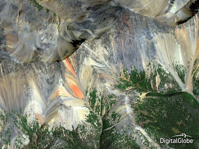
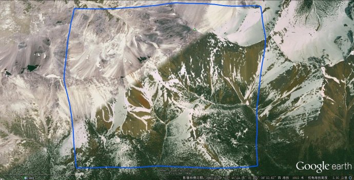
Geologists can save time and exploration costs by analysing imagery with shortwave infrared bands that identify specific minerals in order to focus their attention on the most promising areas. Above, a photo of the Rainbow Range of mountains, British Columbia, Canada
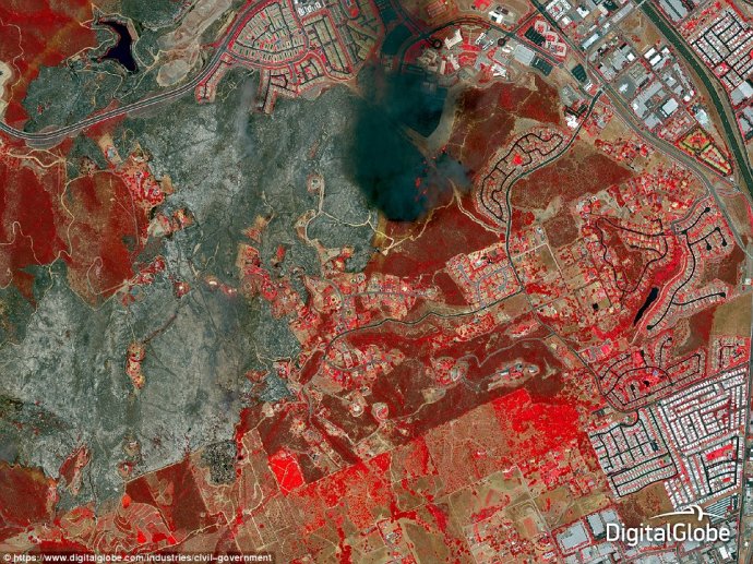
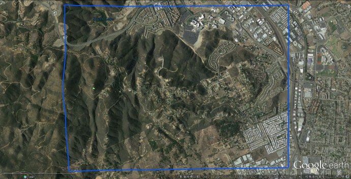
Saving San Diego via satellite: Aerial views, such as this one taken above San Diego County, California, on May 15 2014, were used to monitor the wildfires' progress and assess damage
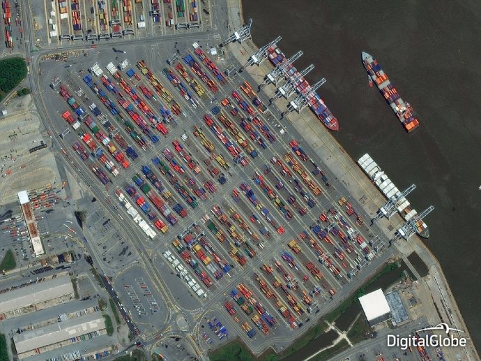
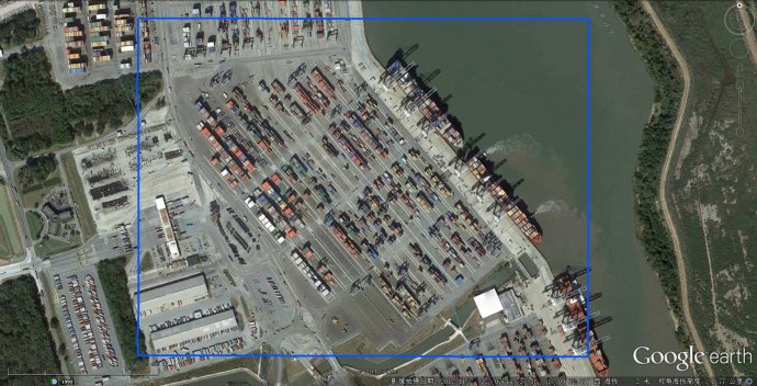
Satellite shots are also a way of monitoring capacity and are used to determine the type and number of shipping containers being held in Garden City, Georgia, USA, above
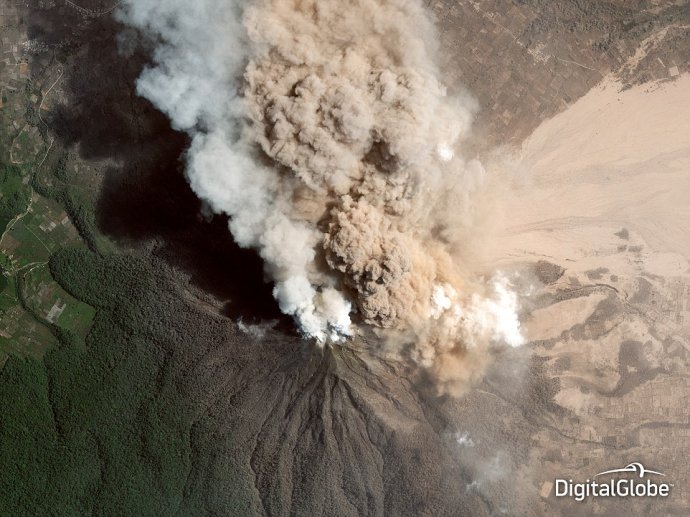
Smoke can obscure the view of those on the ground responding to events such as fires and volcanoes, making satellite imagery crucial. Above, smoke rises from the crater of Mount Sinabung, Indonesia, in January 2014
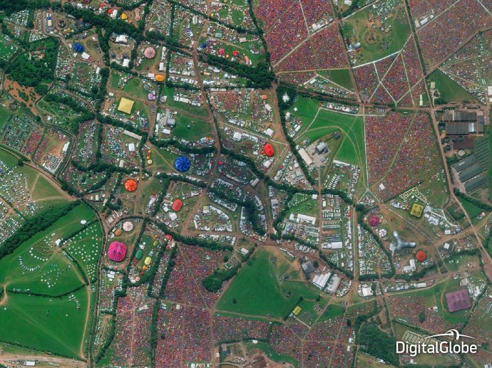
Satellite photographs can also be used to enhance experiences - giving attendees of Glastonbury an astonishing aerial view of the festival
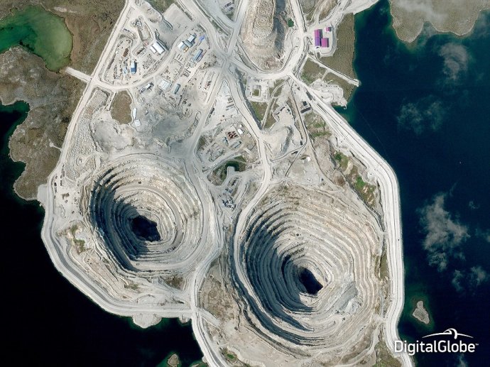
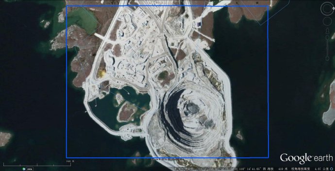
Satellite imagery of operational mines, such as The Diavikk Diamond Mine in Canada, (pictured) allows for environmental impact assessment
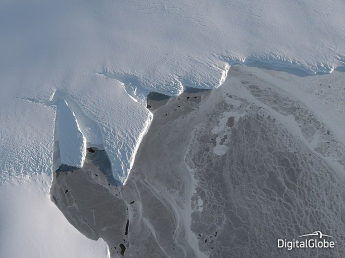
The photo, taken in March this year, was shortlisted to highlight the affect of climate change on the Nordenskjold Basin in Antarctica
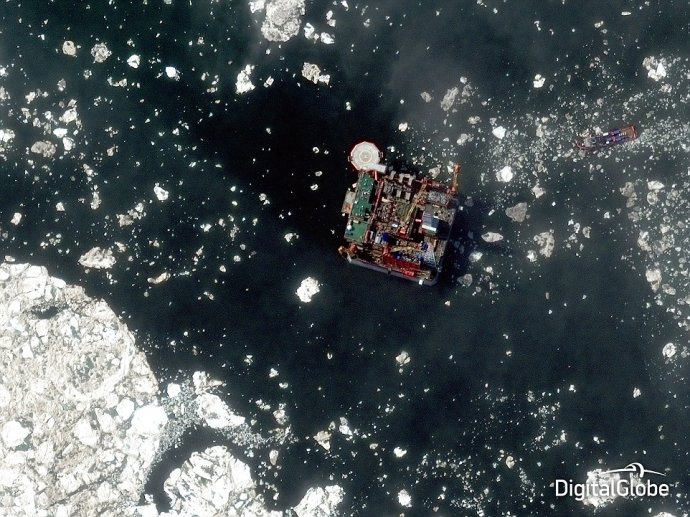
This dramatic photo captures a commercial offshore oil development in the Arctic - the Prirazlomnaya Oil Platform, owned by Russia
Best aerial shots of 2014 | Daily Mail Online
http://www.dailymail.co.uk/news/article-2866122/The-year-Stunning-series-satellite-images-world-shortlist-competition-best-aerial-shots-2014.html
DigitalGlobe™ (纽交所代码:DGI) 是一家全球领先的商用高分辨率地球影像产品和服务供应商。
DigitalGlobe的影像解决方案利用先进的自有卫星群提供的数据,支持在国防和情报、民间机构、地图制作和分析、环境监测、油气勘探、基础设施管理、互联网门户网站以及导航技术领域的广泛应用。
借助其自有卫星群及全面的影像库(包含 40 亿平方公里以上的地球影像和相关产品),DigitalGlobe 提供了一系列的在线和离线产品和服务,让客户可以方便地访问其影像并将其集成到自己的业务运营和应用中。
DigitalGlobe总部设在美国的科罗拉多州,经过二十余年的发展,已经从一家创业公司成长为业界领先的跨国公司,在全球设立了超过 12 家办事机构,拥有 1,000 多名员工。DigitalGlobe 从只有一颗卫星发展成拥有 5 颗卫星的卫星群,2013 年的净收入达到了 6.13 亿美元。
2013 年 1 月 31 日,两家领先的地球观测和地理空间分析提供商 DigitalGlobe 和 GeoEye 宣布合并,组成一家公司。合并后的 DigitalGlobe 定位在提供更广泛的影像、信息和高级分析功能,帮助客户解决日益复杂的各种问题,节省时间、开支,甚至拯救生命。
公司名称:美国数字地球公司
外文名称:DigitalGlobe Inc.
总部地点:美国科罗拉多州
成立时间:1992年
经营范围:卫星遥感影像,地理信息数据和分析产品
公司口号:Seeing a Better World (发现更美好的世界)
年营业额:6.13亿美元(2013年)
